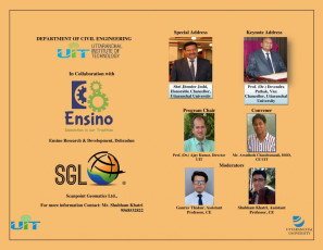
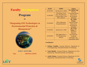
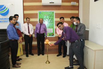
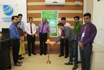
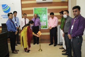
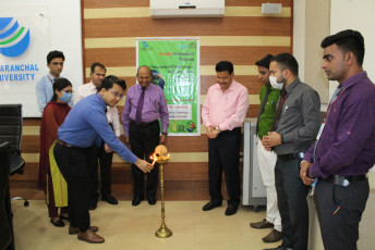
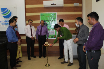
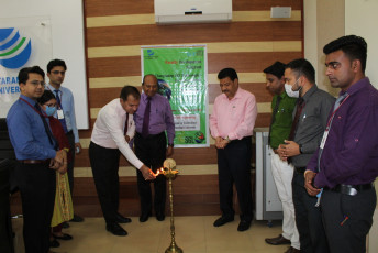
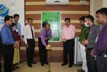
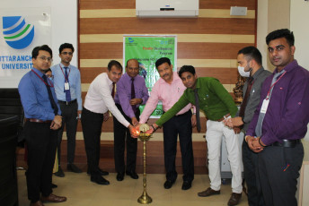
Civil Engineering Department, Uttaranchal Institute of Technology, Dehradun is organizing an online Faculty Development Program on “Integrating GIS Technologies in Environmental Protection and Management” from 20th October, 2020 to 24th October, 2020.
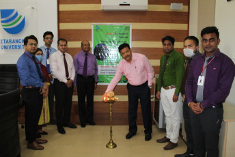
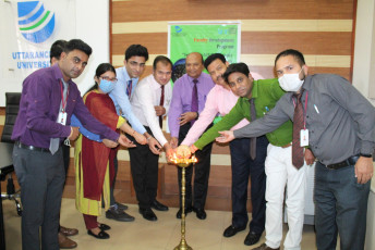
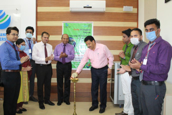
The program is being organized in collaboration with Ensino Research & Development, Dehradun and Scanpoint Geomatics Ltd., Ahmedabad, India. The program was inaugurated by Hon’ble Chancellor Shri Jitender Joshi and Hon’ble Vice Chancellor Prof. (Dr.) Devendra Pathak. The Welcome Address was delivered by Prof. (Dr.) Ajay Kumar (Program Chair), Director, UIT and Mr. Awadhesh Chandramauli (Program Convener), Head of the Department of Civil Engineering.
The schedule of the program is as follows:
| DATE | TOPIC | Expert |
| 20/10/2020 | Introduction to QGIS | Mr. Dinesh Negi,
Software Consultant,Ensino Research & Development, Dehradun |
| 21/10/2020 | Classifying Vector Data, The label tool, Creating Maps Using Mao composer | |
| 22/10/2020 | GIS in Managing Natural Resources | Mr. Ashok Kumar, Director,Ensino Research & Development, Dehradun |
| 23/10/2020 | Introduction to IGIS | Mr. Vivek Sengar, Sr. Executive (Business Development), Scanpoint Geomatics Ltd., Ahmedabad |
| 24/10/2020 | GIS Applications in Civil Engineering Projects |