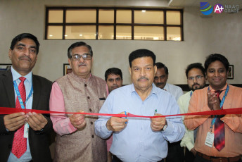
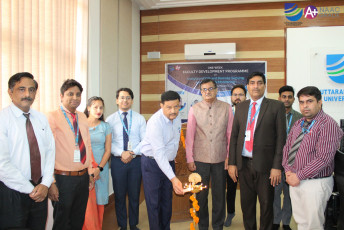
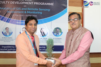
A one-week Faculty Development Programme on “Analytics of GIS and Remote Sensing: Assessment & Monitoring” was organized by the Department of Civil Engineering from 17 May 2022 to 23 May 2022. Faculties, academicians & research scholars from Uttaranchal University and other institutions attended the FDP. The Chief Guest of the inaugural program was Prof (Dr) N P Kaushik, former Vice Chancellor, Rajasthan Technical University, Kota, Rajasthan. The FDP was inaugurated by Shri Jitender Joshi, Honorable Chancellor, Prof (Dr) Dharam Buddhi, Vice-Chancellor and Prof (Dr) Rajesh Bahuguna, Pro Vice-Chancellor, and Prof (Dr) S D Pandey, Dean, UIT.
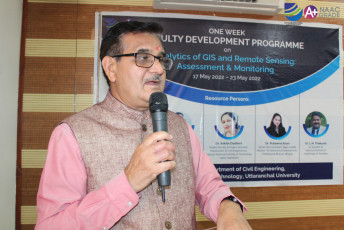
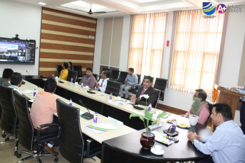
The FDP took place every day in two sessions of three hours each. Erudite speakers from reputed organizations participated in the one-week FDP, namely, Dr Pran N Dadhich, Professor & Head, Department of Civil Engineering, Poornima University, Jaipur, Rajasthan, Dr Ankita Dadhich, Inspire Faculty & Project Scientist in the Department of Civil Engineering, Malaviya National Institute of Technology, Jaipur, Rajasthan, Dr Rubeena Khan, Senior GIS Consultant, Rajiv Gandhi Mission for Watershed Development, Vindhyachal Bhavan, Bhopal and Dr L N Thakural, Sr Scientist D, National Institute of Hydrology, Roorkee.
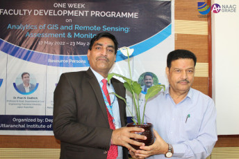
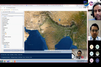
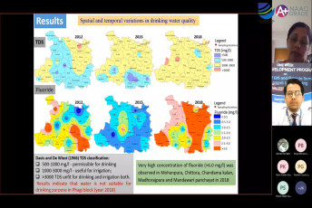
The one-week FDP proved to be very beneficial for all the participants as they got aware of the latest advancements in the field of assessment and monitoring using GIS and Remote Sensing. The well-structured content of the FDP and erudite speakers helped in achieving the goals of the FDP and fulfilling its objectives. The sessions were interactive, as they also consisted of the question-and-answer session at the end of a session of each day, which further helped in clarifying the doubts of the participants and having a better understanding of the subject. After the completion of the one-week faculty development program, the participants were able to understand the applications of GIS and remote sensing in the field of groundwater studies, tropical wetland monitoring and assessment, unsteady-flow simulation and hydrological modeling. The FDP also provided hands-on some of the software dealing with GIS and remote sensings such as ArcGIS, QGIS, and SWAT-GIS tools. The FDP also helped in spreading awareness and motivating the participants to conduct research in the field of GIS and Remote Sensing for a better future & sustainable development. The FDP was organized by Mr Gaurav Thakur, Assistant Professor, Department of Civil Engineering, Uttaranchal University. The Certificates were given to all the deserving candidates. The vote of thanks was proposed by Mr Awadhesh Chandramauli, HoD, Department of Civil Engineering, Uttaranchal University, to all the dignitaries and the participants for making it a success.