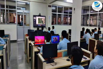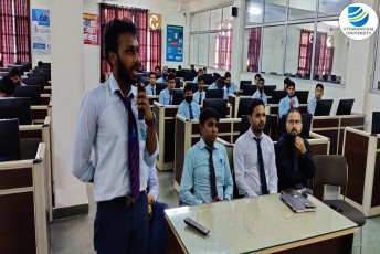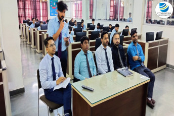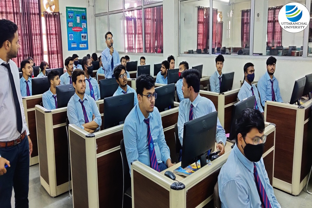
On 24th September 2021 an online workshop on Geo HECRAS software was organized by the Department of Civil Engineering, Uttaranchal Institute of Engineering, Uttaranchal University, which showcased the application of 1D and 2D modules of the software. Mr Bill Olson, Water Resources Engineer, Civil, GEO, Middleton, Wisconsin, USA was the speaker of the workshop.
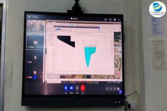
Geo HECRAS is an AutoCAD, Micro Station and ESRI Arc GIS compatible interactive 2D/3D graphical user interface data wrapper to the US Army Corps of Engineers. This software allows a variety of different data to be quickly and easily incorporated into a HEC-RAS project. Along with that it creates multiple efficiencies for the practicing engineer by integrating a variety of data quickly and seamlessly into a HEC-RAS project. The software also helps in managing complex data sets, and multiple files.
Various topics such as compute water surface profiles for steady and unsteady flow models using 1D and 2D modules, bridge and culvert roadway crossings, FEMA flood plain encroachments, stream restorations, inline reservoir structures, off-channel storage areas, and many more were deliberated by Mr. Olson.
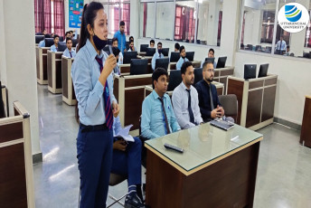
This workshop provided a platform to gain useful information, and to have an insight into the Geo HECRAS software. The sessions motivated the students to explore the avenues of using the software and explained various usage of the software and enable them to apply the same to a variety of complex water modeling scenarios. The interactive Q&A session helped in clearing the doubts of the participants. The students were able to acquire knowledge of the software, its uses, working and application to the real world problems.
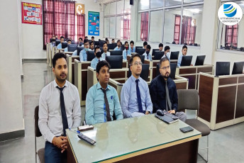
It was successfully organized by Mr Gaurav Thakur, Assistant Professor, and Mr Vinod Balmiki, Assistant Professor, of the Department of Civil Engineering with great zeal.