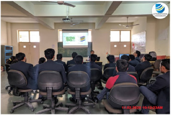
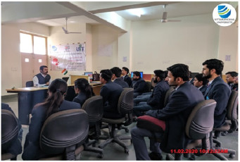
A Workshop on ‘Remote Sensing and Geospatial System using IGIS 2.0 Software’ was jointly organized by Civil Engineering Department (UIT) & Scanpoint Geomatics Limited, Ahmedabad on 11th &12th February, 2020. The workshop started with an Introductory Note by Shri Vinod Mishra, Vice-President and Mr. Vivek Kr Sengar, Sr. Executive and Business Development, Scanpoint Geomatics Limited.
The workshop was helpful in understanding the basics of GIS. The participants included Faculty Members, Research Associates & Research Scholars and students of the University.
Satellite images are used in order to evaluate any current situation or to do trend analysis. In the processing of satellite/remote sensing images Geospatial Information System (GIS) plays a vital role. During this workshop various aspects and usage of different data and tools were demonstrated.
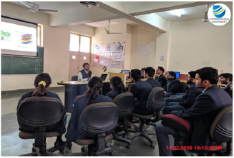
The content delivered on Day 1 of the workshop consisted of basic knowledge about Geographical Information systems (GIS) delivered by Mr. Manish Dwivedi, Sr. Executive, GIS Solutions. Raster and vector data and image processing using IGIS software was elaborately discussed. The Second Day consisted of hands-on-practice on IGIS 2.0 software. Top sheets georefrencing, digitization of toposheet and vector data outsourcing were some of the points looked upon. The students were satisfied with the overall workshop experience.
The workshop concluded with Vote of Thanks delivered by Mr. Awadhesh Chandramauli, Head – Department of Civil Engineering.